
Loading…
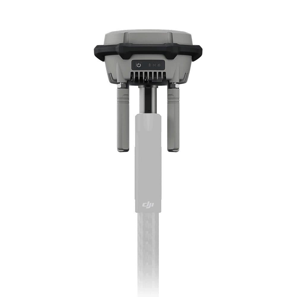
A DJI D-RTK 3 GNSS RTK base station for hire in Sri Lanka. It broadcasts real-time correction data to a compatible DJI enterprise drone so your mapping and survey work locks onto centimetre-grade accuracy.
It is a positioning station only, so no drone is included.
The DJI D-RTK 3 is a multifunctional GNSS RTK station, about 163 mm by 89 mm and roughly 1.26 kg, that provides the ground reference for precise drone positioning.
It tracks multi-band signals from GPS, BDS, GALILEO, GLONASS, QZSS and L-Band, then resolves position with horizontal RTK accuracy of 0.8 cm + 1 ppm and vertical accuracy of 1.5 cm + 1 ppm in fixed survey mode.
A built-in IMU also supports tilt-compensated point survey up to 60 degrees.
It runs in three roles from one unit. Base Station broadcasts corrections to your aircraft, Relay Station extends the link over long distances, and Rover Station supports handheld point survey.
The wireless link uses 2.4, 5.2 and 5.8 GHz OcuSync and reaches up to 40 km to a Matrice 400 aircraft in base mode. It outputs standard RTCM v3.x and MSM4-7 correction streams and carries Bluetooth 5.1 for configuration.
That combination is what lets a survey drone hold a stable, accurate fix over a site instead of relying on standard GPS alone.
It is built for professional mapping, surveying and infrastructure inspection, and it is a positioning accessory rather than an aircraft, so you pair it with a compatible DJI enterprise drone that you supply or rent separately.
Coming Soon
Rs 15,000 / dayExpected rate once we add it to the fleet.
First customers on the waitlist get first pick when we acquire the unit.